


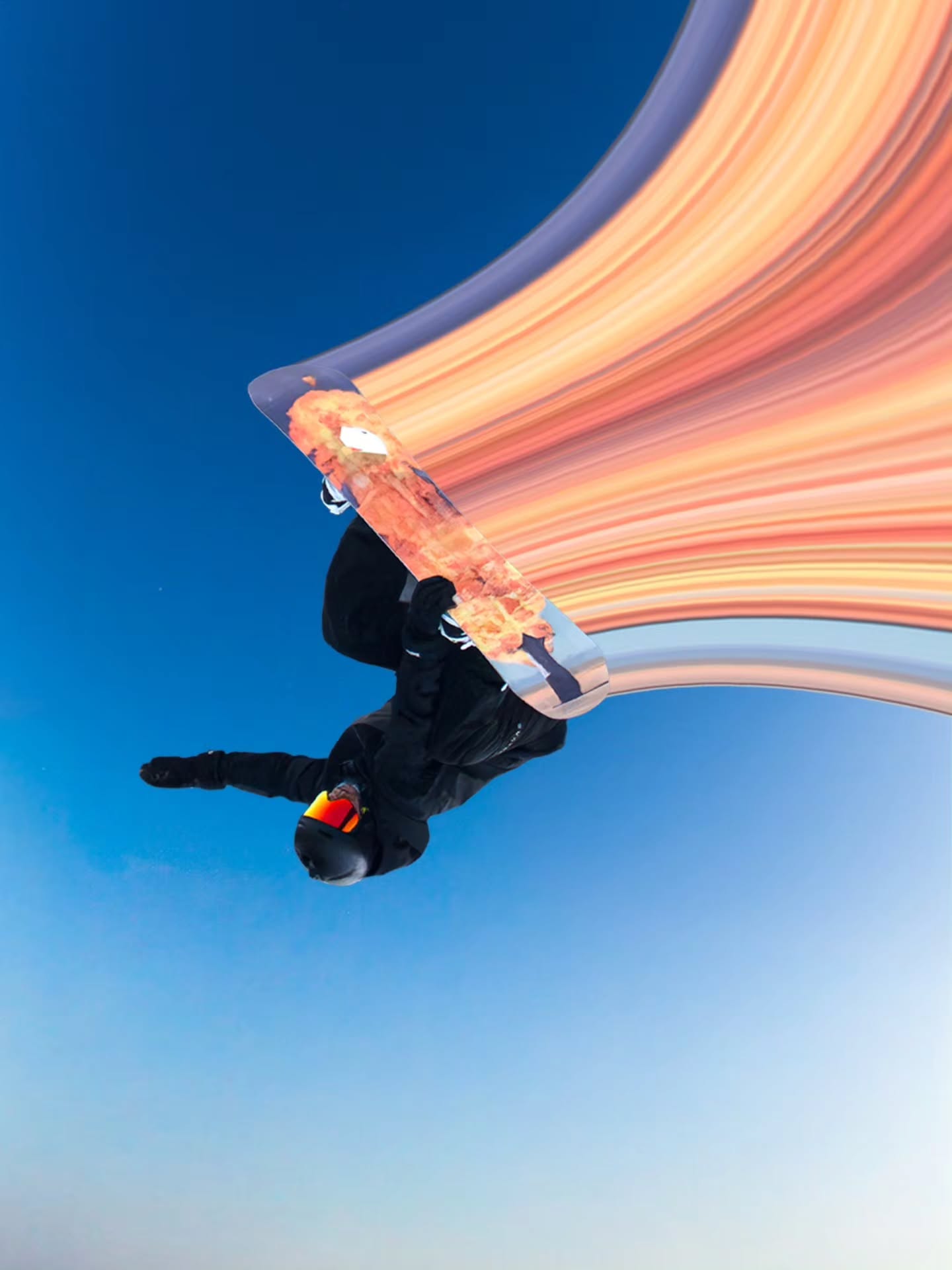
If you have checked a snow cam this season and felt a bit deflated, you are not imagining things. The 2026 Australian snow season has had a genuinely slow start, with warmer than usual temperatures, patchy natural cover, and a lot of bare ground where riders would normally expect a solid base. The short answer is El Niño. The Bureau of Meteorology officially declared an El Niño pattern in June, and it has been working against the Alps ever since, bringing drier air, more high pressure, and warmer nights that make it harder for both nature and snowmaking to build a base.
It is a frustrating season so far. But it is not a lost one, and there is a good reason for that, which we will get to.
What El Niño Actually Does to Australian Snow
El Niño is a shift in Pacific Ocean temperatures that changes weather patterns right around the world. In Australia, it tends to mean the opposite of what some overseas skiers might expect. While El Niño years can boost snowfall in parts of South America, in the Australian Alps the pattern usually brings below average rainfall and above average daytime and overnight temperatures across the southeast.
That combination is tough on snow in two ways. Less rainfall means fewer cold fronts delivering fresh falls. Warmer temperatures mean any snow that does arrive is more likely to melt quickly or fall as rain instead. Add a positive Indian Ocean Dipole into the mix, which reduces moisture reaching the southeast, and you get a season that is stacked against big, consistent snow totals from the outset.
This year, climate scientists have also pointed to a positive Southern Annular Mode working alongside El Niño, which has reinforced the drier, warmer pattern. None of this is unique to 2026. Similar early signs showed up in 1957, 1967, 1982, 1997, 2015 and 2023, so a slow, warm start is something the Australian snow season has weathered before.
El Niño vs La Niña vs Neutral: What It Means for the Alps
| Pattern | Typical rainfall | Typical temperatures | General effect on AU snow |
|---|---|---|---|
| El Niño | Below average | Warmer days and nights | Fewer storm systems, higher melt risk |
| La Niña | Above average | Cooler | More frequent storms, better base building |
| Neutral | Closer to average | Closer to average | Often the most consistent seasons |
No single pattern guarantees a good or bad season on its own. Local factors, the timing of cold fronts, and shorter term drivers can still override the broader trend, which is exactly what has happened in some past El Niño years.
How Resorts Are Responding
This is where Australian resorts earn their reputation for resilience. Snowmaking has become a serious piece of mountain infrastructure rather than a backup plan, and it is doing a lot of the heavy lifting this season.
Thredbo and Perisher run two of the largest snowmaking systems in the southern hemisphere, and Perisher's system has spent the past two decades moving toward largely automated snow guns that can respond quickly when temperatures drop enough overnight. Mt Hotham can cover a meaningful share of its terrain with snowmaking, concentrated on key beginner and intermediate runs, and Mt Buller has continued to invest in snowmaking infrastructure in recent years, including additional water storage to support production. Falls Creek also runs snowmaking across a solid share of its slopes.
None of these systems can fully replace a good natural season. But they mean that even in a slow, warm year, resorts can usually keep signature runs open, protect the beginner and intermediate terrain that most visitors rely on, and give the season a foundation to build on when colder weather does arrive. For a full breakdown of how each mountain compares, our guide to every major Australian ski resort covers terrain, snowmaking and what each field does best.
Mt Buller and Thredbo are two of the resorts leaning hardest on snowmaking this season. If you are considering either for your next trip, our complete Mt Buller guide and complete Thredbo guide go into more detail on terrain, conditions and what to expect on the mountain.
Why One Good Storm Cycle Can Still Change Everything
Australian ski seasons have a habit of turning on a handful of storms rather than a steady drip of snowfall, and that cuts both ways. It is exactly why a slow June or July does not necessarily predict how September will look.
The 2015 season is the clearest example. It started slowly, with very little natural snow until mid July, under a developing El Niño. Then a run of strong storms delivered more than a metre of snow in a single week, opening most of the terrain and setting up excellent conditions that carried through August and into a late season storm. It finished as a genuinely solid winter.
2023 tells the other side of the story. A promising late June and a big July storm raised hopes, but warm spells, limited August snowfall and persistent northwesterly winds undid the gains, and several resorts closed earlier than usual. The lesson from both seasons is the same: an El Niño year sets the odds, but it does not write the ending. The Australian Alps do not need a wet winter overall, they need a few well timed cold fronts, and there is still plenty of the season left for that to happen.
What This Means for Riders Right Now
If you are planning a trip this season, the practical picture looks like this. Expect variable natural cover, particularly at lower elevations and on north facing slopes, with the most reliable conditions likely on higher terrain in the Snowy Mountains and at Mt Hotham. Expect snowmaking to be doing more of the work on key runs, especially early and midweek. And expect the kind of flat, overcast, low contrast light that tends to show up more often in a mixed, changeable season like this one, where cloud cover and variable snow surfaces make it harder to read the terrain in front of you.
That last point matters more than people often realise. In flat light and shifting conditions, having a lens that can adapt through the day makes a genuine difference to how confidently you can read bumps, icy patches and soft snow. It is one of the reasons riders increasingly reach for a versatile, interchangeable lens setup like the KIZUKI Dawn Goggle Collection, which is built with an S2 lens designed for exactly this kind of mixed, everyday alpine light. Riders skiing mostly overcast or low light days may also want to look at our low light ski goggles for extra clarity on flat, grey days.
A slow, El Niño affected start is a real thing this season, and it is fair to go in with tempered expectations. But Australian resorts are built for exactly this kind of year, and history shows that a season written off in July can still turn into one worth remembering by September.
Share:
Thredbo: The Complete Skiing and Snowboarding Guide
Perisher: The Complete Skiing and Snowboarding Guide